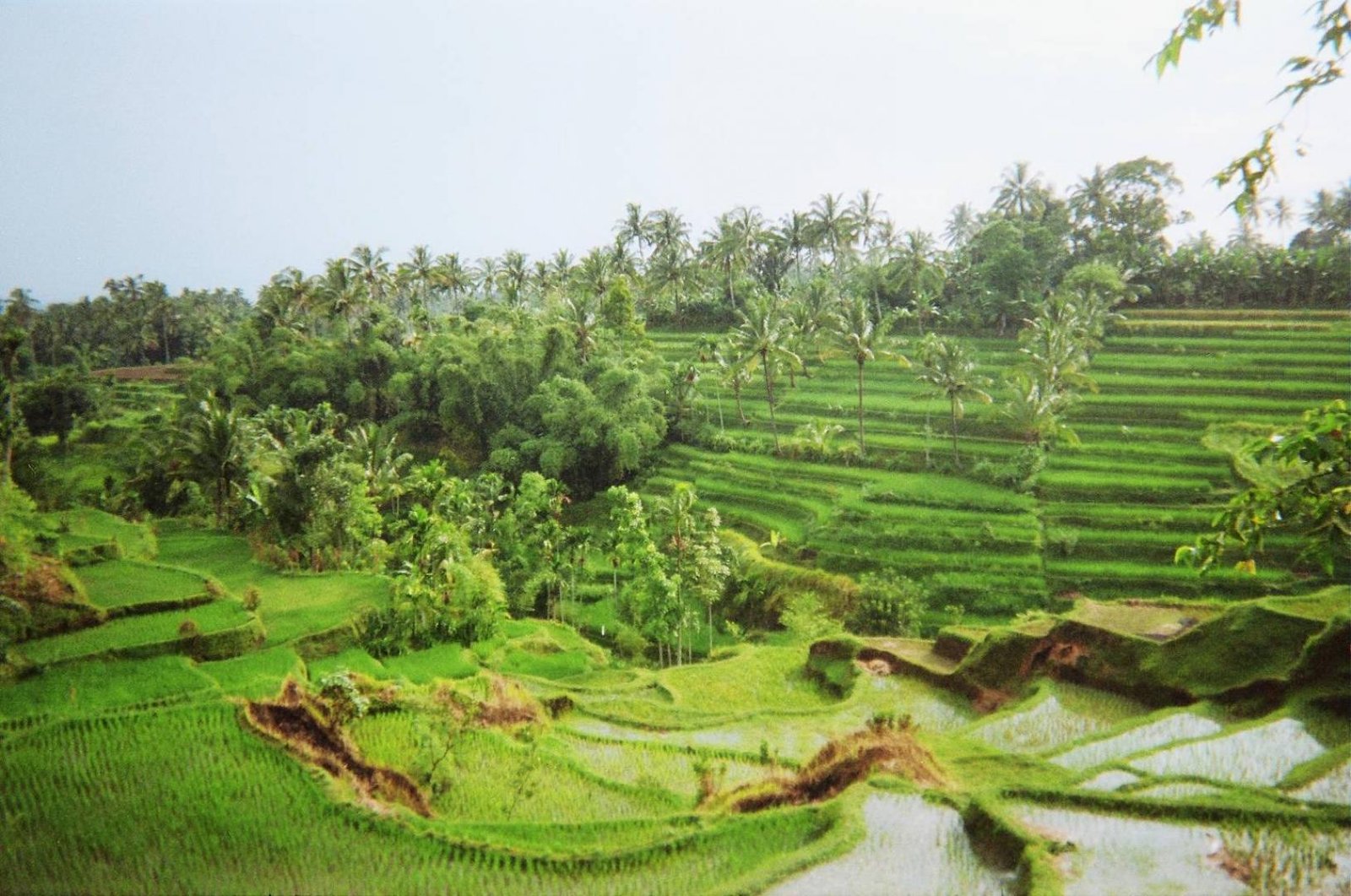
Planning a real Lombok escape sometimes feels confusing at first. Beaches everywhere. Waterfalls hidden behind villages. Tiny roads leading to rice fields you didn’t even know existed. That’s exactly why Tetebatu Lombok Map becomes so important when you want a smoother adventure without wasting precious holiday time.
Honestly, many travelers arrive in Lombok thinking they can “figure it out later.” Then suddenly they spend half the day lost between villages, trying to understand directions from random signboards. Been there. Not fun.
If you’re serious about enjoying a peaceful Lombok trip, especially around East Lombok, maybe this is the moment to stop overthinking and simply contact Gus Lombok Driver on WhatsApp now: +62 8776 5343 999. Sometimes the smartest travel decision is letting a local guide handle the complicated parts while you enjoy the scenery. The green hills. The cool mountain air. The smell of wet rice fields after rain. Yeah, that part.
And interestingly, Tetebatu isn’t just another village. It feels slower somehow. Quieter. Like Lombok before tourism became loud.
Why Tetebatu Lombok Map Matters More Than You Think
People often underestimate distance in Lombok tourism.
On the map, everything looks close. In reality? Roads curve around hills, villages connect through narrow paths, and some waterfalls don’t even appear clearly on standard navigation apps. That’s where a proper Tetebatu Lombok Map helps massively.
Especially if you want to visit:
- Tetebatu rice terraces
- Monkey forest
- Hidden waterfalls
- Traditional Sasak villages
- Local coffee plantations
- Mount Rinjani viewpoints
Without understanding the area first, your holiday in Lombok can turn into a tiring road trip instead of a relaxing getaway.
And honestly, Tetebatu deserves slow travel.
Not rushing.
Not constantly checking your phone battery.
Just walking. Listening to insects at night. Watching farmers move through the fields early morning while mist still hangs low above the terraces. Small moments like that stay in your memory longer than fancy beach clubs sometimes.
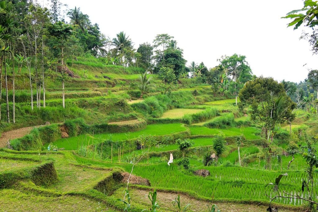
Understanding the Layout of Tetebatu
A good Tetebatu Lombok Map usually shows several key zones visitors often explore.
The northern side leans closer toward Mount Rinjani foothills. Cooler weather there. Slightly dramatic landscapes too.
The central village area is where most guesthouses, cafés, and local homestays are located. Easy access. Comfortable enough.
Meanwhile, the southern routes connect travelers toward rice terraces and hidden waterfalls. Some roads become smaller and bumpier. But weirdly, those roads often lead to the best views.
That’s Lombok for you.
Beautiful. Slightly chaotic. Worth it anyway.
Rice Fields Everywhere
One thing people remember immediately about Tetebatu is the endless green scenery.
Not the polished type you see in edited travel photos. Real green. Wet soil. Wind moving through the rice plants. Farmers carrying tools by hand.
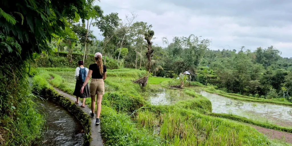
Using a detailed Tetebatu Lombok Map helps visitors discover smaller walking trails through these rice fields that most tourists completely miss.
And those little trails? Sometimes they become the highlight of the whole trip.
Best Places Found on Tetebatu Lombok Map
There are several iconic places you should probably mark before arriving.
Jeruk Manis Waterfall
This waterfall sits inside a forest area with cool temperatures and tall trees surrounding the path. The walk itself already feels refreshing.
The sound hits first before you even see the waterfall.
Heavy water crashing onto rocks. Echoing softly through the jungle.
Most visitors using a proper Tetebatu Lombok Map combine this destination with nearby rice terrace tours because the route connects naturally.
Monkey Forest Tetebatu
Smaller than Ubud’s monkey forest in Bali, but honestly more peaceful.
The monkeys here feel less aggressive. The forest itself feels wilder too.
Sometimes fog appears between the trees during early mornings. Very cinematic. A little mysterious even.
Local Coffee Farms
Not everyone talks about this, strangely.
Tetebatu has several local coffee spots where you can see traditional roasting methods and drink coffee while overlooking valleys. Slow mornings hit differently there.
Especially after rain.
How Tetebatu Supports Sustainable Lombok Tourism
One reason many travelers fall in love with Tetebatu is because the village still feels authentic.
Not overly commercial.
Not overloaded with giant resorts.
The community-based tourism system supports local families directly, which makes a huge difference for sustainable Lombok tourism. Many homestays are family-owned. Local guides come from nearby villages. Even small restaurants often use vegetables grown nearby.
And maybe that’s why the atmosphere feels warmer.
People actually greet you.
Kids wave from bicycles.
Someone might randomly offer you coffee while you’re walking.
A detailed Tetebatu Lombok Map can also help travelers avoid overcrowded tourist spots and explore quieter areas respectfully.
That matters more now than ever.
The Best Time to Visit Tetebatu
Dry season works best, usually around May until September.
During these months, trekking becomes easier and the rice fields often look incredibly vibrant under clear sunlight.
But honestly? Rainy season has its own charm.
Clouds drift slowly over the hills. The air becomes cooler. Waterfalls grow stronger.
Everything smells earthy.
Some roads get slippery though, so having local transportation support during your Lombok trip becomes very useful.
Very useful.
Tetebatu for Slow Travelers
Not everyone visits Lombok for parties or beach hopping.
Some travelers just want silence.
A slower rhythm.
And Tetebatu fits that mood perfectly.
You wake up hearing roosters instead of traffic. Nights become darker because there are fewer city lights. Sometimes you sit outside your room doing absolutely nothing except listening to insects and distant river sounds.
Weirdly calming.
Using a reliable Tetebatu Lombok Map allows slow travelers to create flexible itineraries without rushing between attractions.
Because honestly, Tetebatu isn’t about checking boxes.
It’s about feeling present for once.
Combining Tetebatu with Other Lombok Destinations
Many travelers combine Tetebatu with:
- Kuta Lombok beaches
- Senaru waterfalls
- Pink Beach
- Gili Islands
- Mount Rinjani trekking routes
A smart Tetebatu Lombok Map helps organize these routes efficiently, especially if your holiday in Lombok lasts only a few days.
And traffic conditions matter more than people expect here.
Some roads are smooth. Others suddenly become narrow village paths filled with motorbikes, chickens, and random cows crossing without warning. Seriously.
Local drivers understand these conditions much better than standard navigation apps.
Why Travelers Prefer Local Drivers in Lombok
There’s something comforting about traveling with someone who genuinely knows the island.
Not just directions.
But shortcuts. Weather patterns. Quiet cafés. Sunset timing. Which roads flood after rain. Which waterfall gets crowded after noon.
Those details completely change a Lombok trip.
A local driver often becomes part guide, part storyteller, part emergency problem-solver. Especially around East Lombok where road signs can feel… minimal.
And when you’re using a Tetebatu Lombok Map, local insight helps interpret the map realistically instead of theoretically.
Big difference.
Hidden Corners Most Tourists Miss
Here’s the funny thing.
The best moments in Tetebatu usually aren’t famous landmarks.
They happen between destinations.
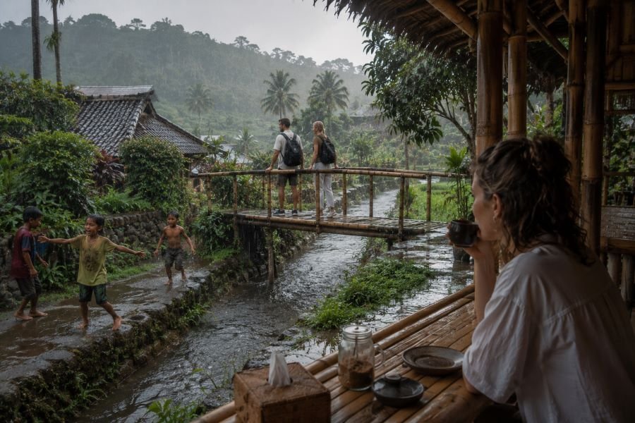
A random bamboo bridge.
Children playing near irrigation canals.
A tiny warung serving sweet black coffee while rain starts falling outside.
Sometimes travelers spend too much time chasing “must-see” attractions and forget to notice the atmosphere itself.
Tetebatu teaches you to slow down a little.
To wander.
To get pleasantly lost.
Well… not too lost. That’s still why having a proper Tetebatu Lombok Map matters.
Practical Tips Before Visiting Tetebatu
A few simple things can make your experience much easier:
Bring Light Jackets
Tetebatu becomes cooler at night because of its higher elevation near Mount Rinjani.
Wear Comfortable Shoes
Roads and trekking paths can get muddy, especially after rain.
Don’t Depend Fully on Mobile Signal
Some areas experience unstable connections. Download your Tetebatu Lombok Map offline before exploring remote sections.
Carry Cash
Small local shops sometimes don’t accept digital payments.
Simple things. But they help.
Tetebatu Feels Different
Maybe it’s the mountain air.
Maybe the slower pace.
Or maybe people are simply exhausted from crowded tourist destinations and finally want something quieter.
Tetebatu offers that rare balance between natural beauty and local warmth without trying too hard to impress anyone.
And somehow, that honesty becomes its biggest charm.
A good Tetebatu Lombok Map helps you explore the village more deeply, but the real experience comes from allowing yourself to slow down and actually absorb the atmosphere around you.
Because years later, you probably won’t remember every direction on the map.
You’ll remember how the place felt.
The silence after rain.
The green hills stretching endlessly.
The simple conversations with locals.
The strange peace you didn’t realize you needed during your holiday in Lombok.
So if you’re planning your next Lombok trip and want the journey to feel easier, warmer, and more memorable, maybe this is the right time to contact Gus Lombok Driver through WhatsApp at +62 8776 5343 999. Sometimes great travel memories begin with one simple message.